
Difficulty: 2/5
Distance: 4.26 km
Starting Point: Hoi Ha Road, near Hau Tong Kai.
End Point: Yung Shue O Village
Date: 11 Dec 2020
Transportation:
- Take Green Minibus No. 7 from Sai Kung Pier heading to Hoi Ha, alight at Hoi Ha Road
- Return by walking along the catchwater for 4.3 km to Sai Sha Road and take KMB No. 99 at Shui Long Wo heading to Sai Kung


Decided to take a taxi instead of waiting for the minibus to depart, we were dropped off right at the entrance of the trail. The initial part is a long uphill steps, which is a bit tiring but the conditions of the steps are good so it is still relatively easy to walk.


On this trail there are distance posts with markings of C5201-5208, helping to guide the hikers and letting them know how long they have progressed. Soon we reached the Hau Tong Kai Campsite, which was closed because of COVID.

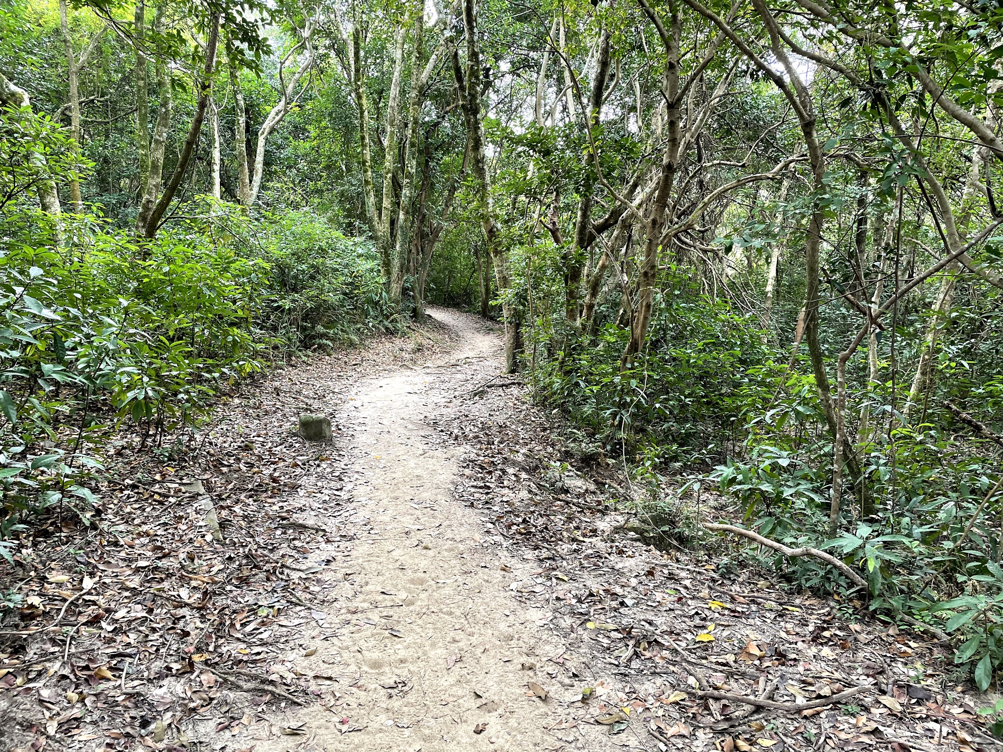
Continuing the uphill trail we soon reached nearly the top of plateau, and with the trees below us we got a good glimpse of the nearby mountains, and interested to see the patches of paperbarks in the distance. This section also flats out, making it very comfortable and easy to walk along the Cheung Sheung Plateau.

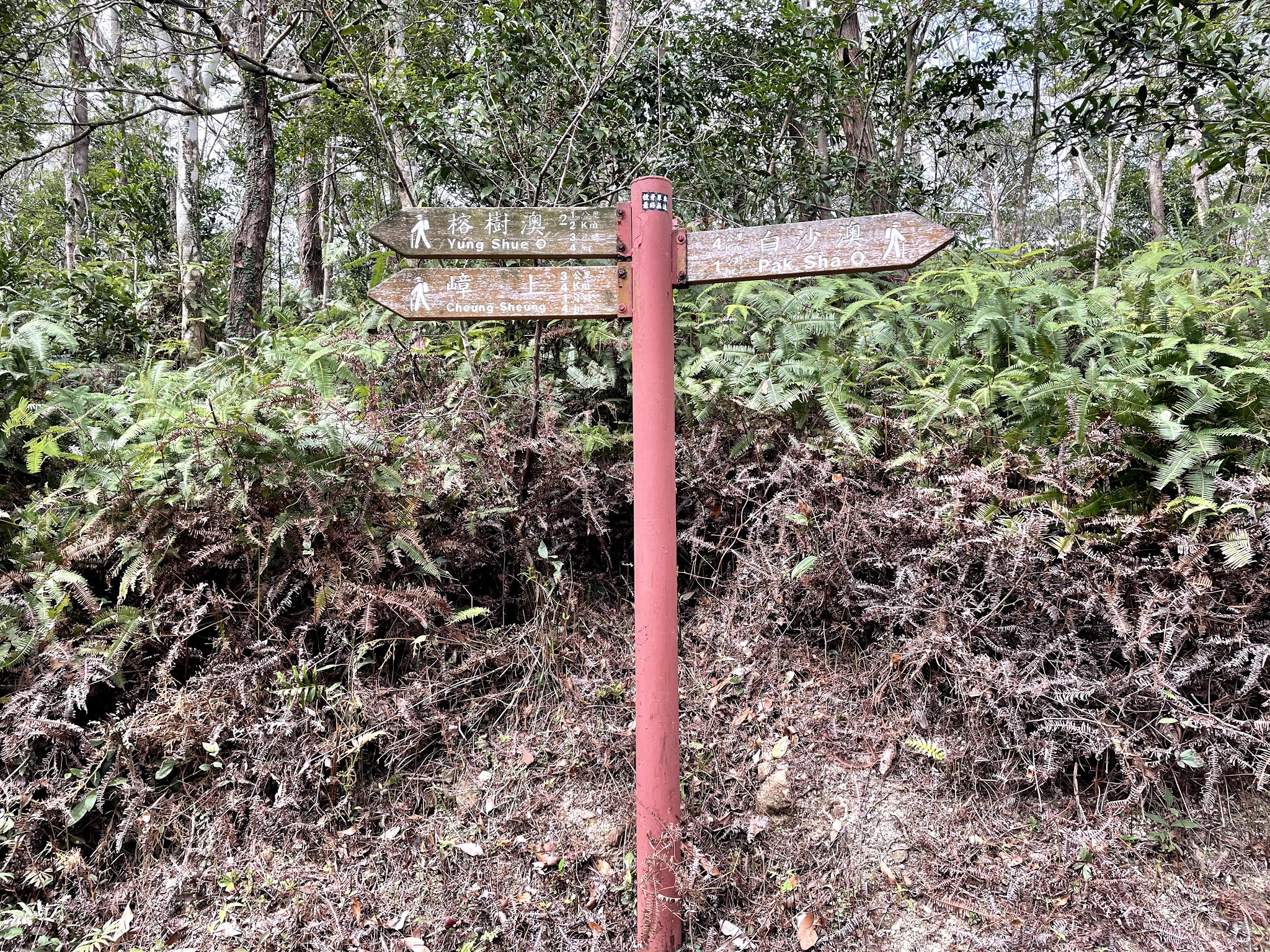
Soon there is a small clear stream which we found a lot of small fish, allowing us to stop for a rest and have fun watching them swim. Further on there is another branch, but with the clear signs showing the direction, there is no worry of getting lost.


Continuing on the plateau we reached the Cheung Sheung campsite, a large piece of flat grassland ideal for camping. There are some BBQ pits, a public toilet, and even a kiosk selling food and drinks. A good place to take a rest and relax.


Further on there is another branch, with the left leading to Shui Long Wo but we took the right one and continue towards Yung Shue O. And then soon we reached Au Mun, which one can go up the hill to have a nice panoramic view of Kei Ling Ha Hoi.


Starting the descent now to Yung Shue O, this section is the famous Jacob's Ladder, the steep and long stone steps. Fortunately we were going down, but even so this reminds the most tiring part of the trail as the steps could be quite narrow in some area and in wet weather one needs to be extra careful too.
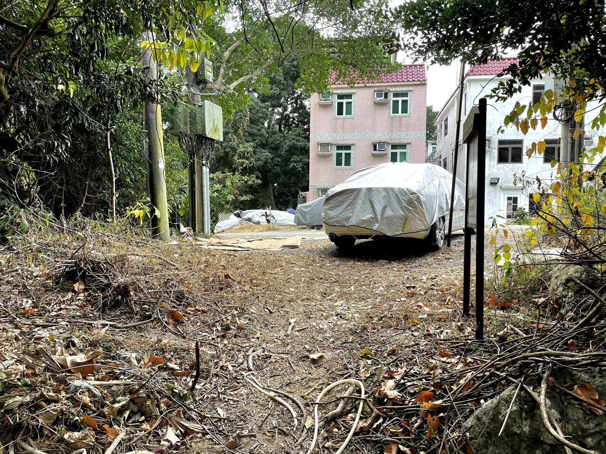
But soon it was all over, and we reached the end of the trail, Yung Shue O village, just at the backyard of some of the village houses. One thing to note though is that it takes another 4.3 km (same length as the trail) to walk from here to Sai Sha Road to get public transport.
沒有留言:
張貼留言