
Difficulty: 3/5
Distance: 9.07 km
From: Pui O
To: Mui Wo
Transportation:
- Take NLB No. 3M from Tung Chung Bus Terminus heading to Mui Wo, alight at Lo Uk Tsuen.
- Return by taking NLB No. 3M at Mui Wo heading back to Tung Chung Bus Terminus.
Date: 2 May 2021

This is the last section of Lantau Trail, with the distance post from L122 to L139. Walking across the street to Chi Ma Wan Road, the initial part is easy as it is on concrete road.

Soon reaching Ham Tin San Tsuen, there is a nice garden with some mangrove, with the seawater coming into this inlet. We were able to see a lot of little egret resting on the trees.

Continue along the inlet will lead to Ham Tin Beach. There is a Tin Hau Temple there and on the day there was a ceremony going on too.
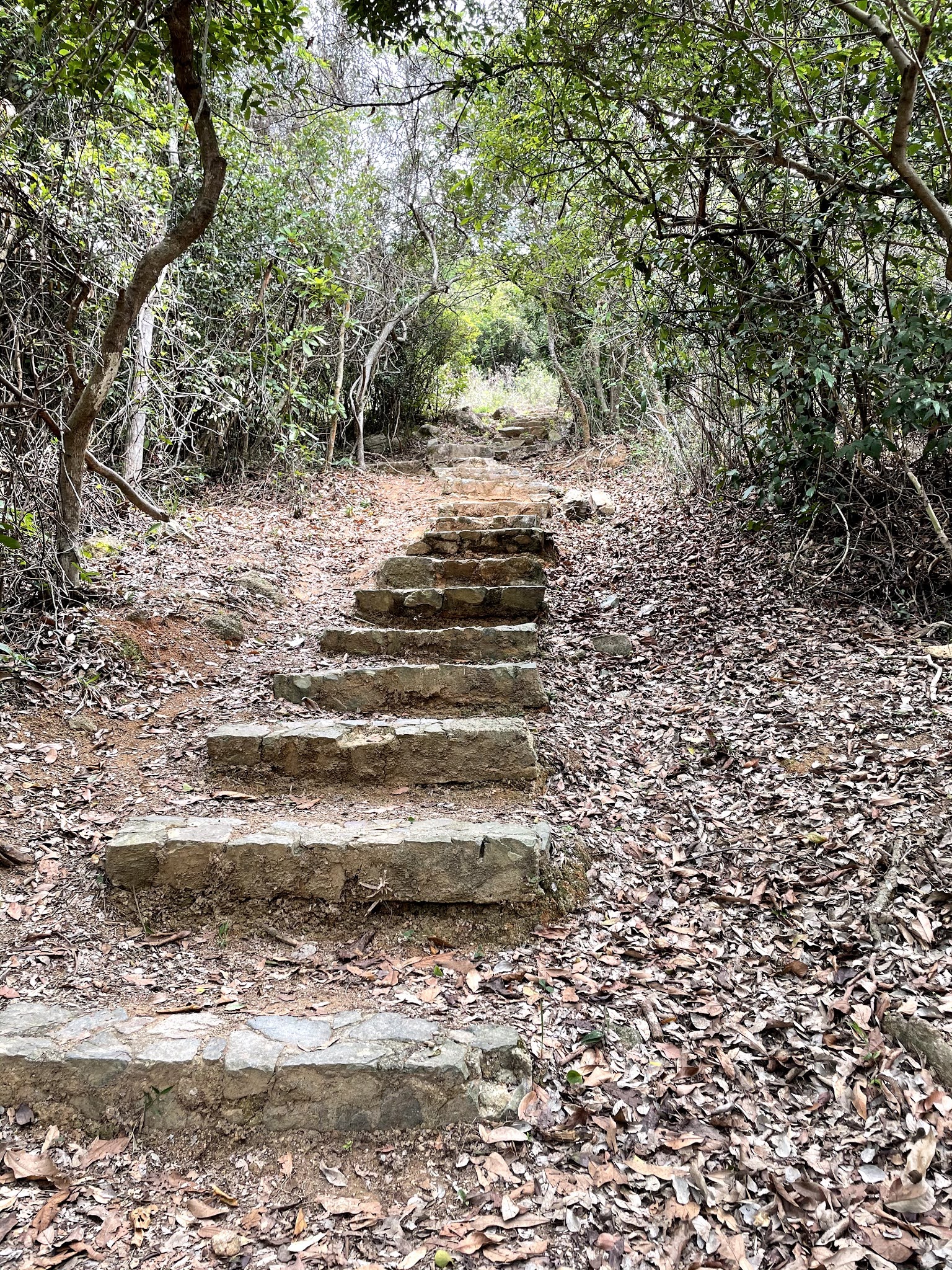
Then the road starts to go uphill, and before long there is a junction, with the road continuing towards Shap Long, the right path leading to Chi Ma Wan Country Trail. Taking the left path going uphill instead, this is the most tiring ascend in this section, but the stone steps are well-maintained so not difficult.


Soon reaching Tai Ngau Wu Peak, the indication is the helicopter pad there. There is also a telecom station nearby.

Beginning to go downhill from this point, this section is almost entirely of descending steps. Again well maintained and not difficult at all.

Soon there is a branch on the trail, with one path heading towards South Lantau Road, serving as an exit point if you don't want to continue. At this point you have completed about half of this section.

Continuing there is a branch leading down to Pak Fu Tin Campsite. Ignoring that and proceed along this part is less shaded so need to pay attention to sun protection. In the distance you can see Hei Ling Chau and the typhoon shelter.


With the destination getting close now, this last section is again easy and flat. Soon you can see the Mui Wo. Going down to Mui Wo Ferry Pier Road you will reach the end point of the trail, the ferry pier.
沒有留言:
張貼留言