
Distance: 10.71 km
Difficulty: 3/5
From: Tate's Cairn
To: Tai Po Road
Transportation:
- Take taxi to Fei Ngo Shan Road Gilwell Campsite, then walk for about 700 m to the start of Section 5
- Return by taking KMB No. 72 from Shek Lei Pui Reservoir to Cheung Sha Wan
Date: 23 Oct 2021

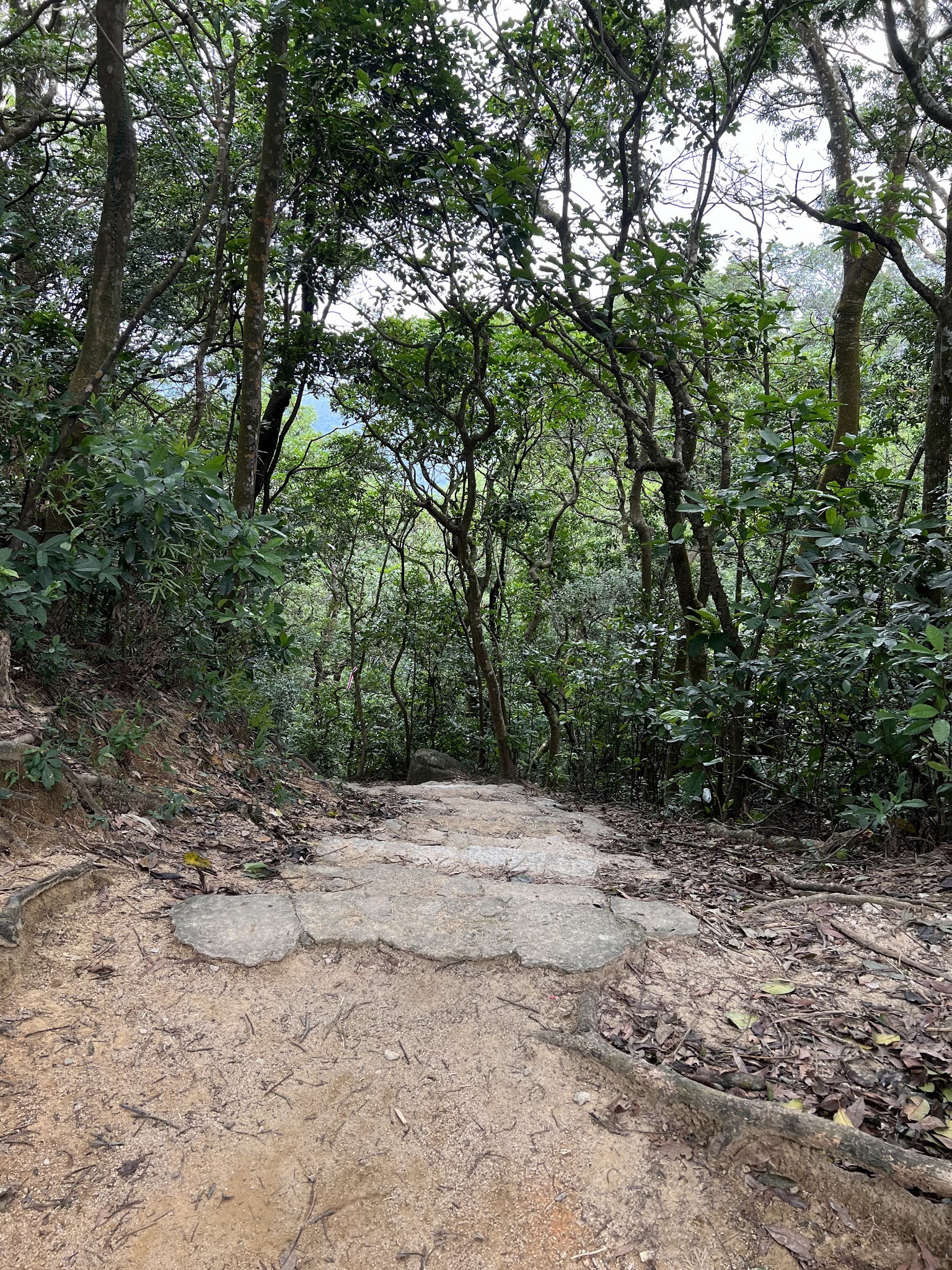
This section of MLH Trail has the distance post from M095 to M115. After a short walk on the concrete road there is a trail leading from the left going into the hill.

Very soon you will the first of many wartime remains, the Marker Stone to indicate the location for the soldiers during WWII.

This initial part of the trail is quite easy, mostly flat dirt path. You will see a war trench, about one metre deep for the soldiers to take shelter.

Another wartime construct is the cave, and this one was built by the Japanese for ambushing the Allied Forces.

Walking down some steps the trail rejoins to concrete road, at the Jat's Incline Parking Viewpoint. Here one can take a good look at the Kowloon area and HK Island in the distance.

Continuing along Shatin Pass Road, this is the easiest part of the section, sloping down so one can make good time. You can also see the skyline of the densely populated buildings.

Reaching the Lion's Pavilion and Lion Rock Country Park, get ready for a bit of climb up the steps. But after this the trail continues in a comfortably flat dirt path section.

There are more wartime relics here, with a number of Market Stones, as well as a Pillbox, a building constructed to hold machine guns to defend the attacks from the Japanese in WWII, but the site is now almost beyond recognition.

Soon you will also reach a famous Wind & Rain Pavilion built by hikers, and can take some rest before continuing.

Then it is the Reunification Pavilion, with many people gathering here, mostly on the way or returning from the Lion Rock Head.

Continuing for a while, the trail begins to ascend to Beacon Hill. On the way up there is a good viewing point to look at the whole Kowloon area, from the Lei Yue Mun to Tsim Sha Tsui. Opposite the harbour, the Victoria Peak and Mount Parker can also be clearly seen.

Reaching the peak of Beacon Hill you will see the radar station. A good spot to take photos, before starting the descend.
Then it is a long way down the steps, with the trail joining the Eagle's Nest Nature Trail at the end.

Turning right at the merging point, this remaining section is mostly flat and easy to walk. After another 2 km of walk you will reach Piper's Hill Road, and then walk for a short distance to the destination, Tai Po Road.

沒有留言:
張貼留言